Central Virginia · FAA Part 107 Certified
See the whole parcel. Prove the whole parcel.
Featured · RTK 3-D Mapping
New · RTK-Corrected Mapping
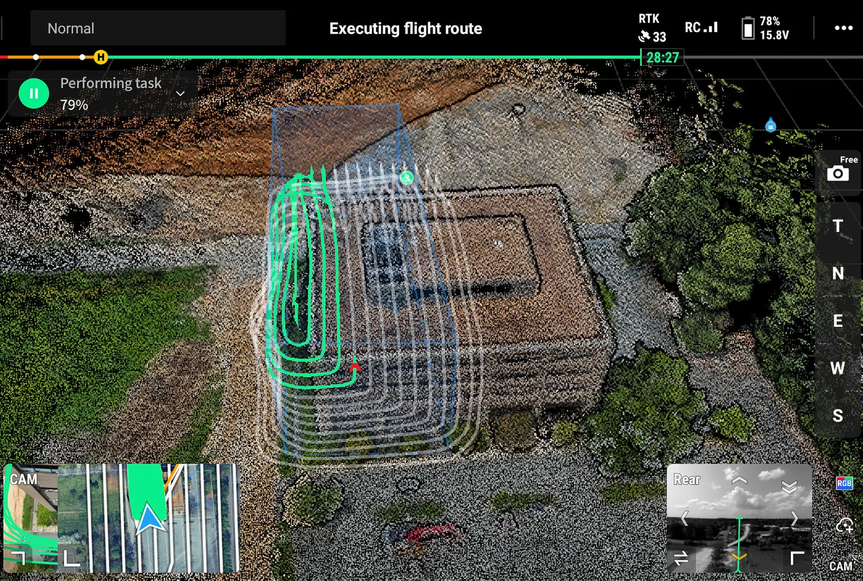
We now fly RTK-corrected mapping missions with the DJI Matrice 4T on a live network correction, so every orthomosaic, elevation model, and site map is locked to real-world coordinates at centimeter-level accuracy, about 1 cm.
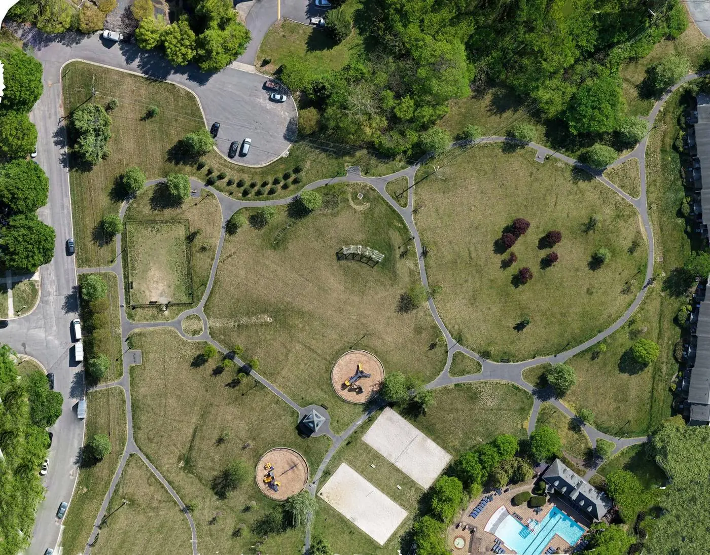
RTK-corrected orthomosaic · centimeter-level positioning
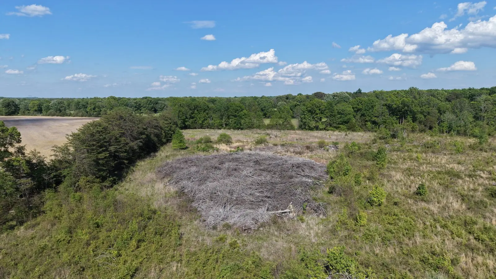
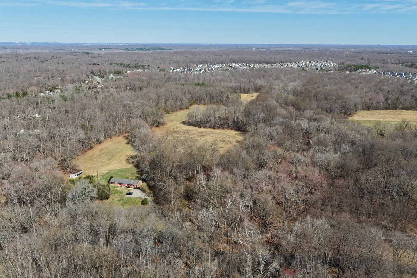
On a land listing or a working property, the land is the product, and you cannot photograph it from the driveway. We fly the parcel, capture the acreage in context, and, when you need an overhead record, stitch a top-down orthomosaic you can drop into planning, marketing, or a management file.
Our orthomosaics are high-quality photogrammetry overviews for visualization and planning, not stamped survey data. RTK-corrected positioning delivers centimeter-level georeferencing, about 1 cm.* If your project needs certified, survey-grade measurements, we will refer you to a licensed surveying partner. Have an unusual mapping ask? See special requests.
Good fit for
Land brokers, hunt clubs and hunt groups, farm and timber owners, builders siting a lot, and families documenting acreage in Goochland, Powhatan, Hanover, and beyond.
Pricing on request
Get a quoteSelected work
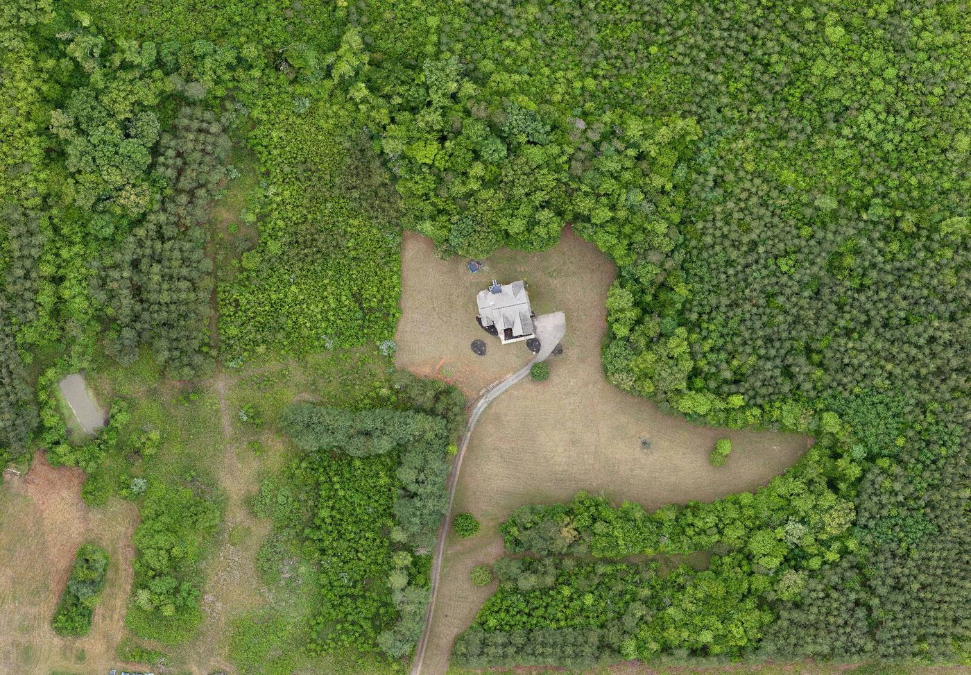
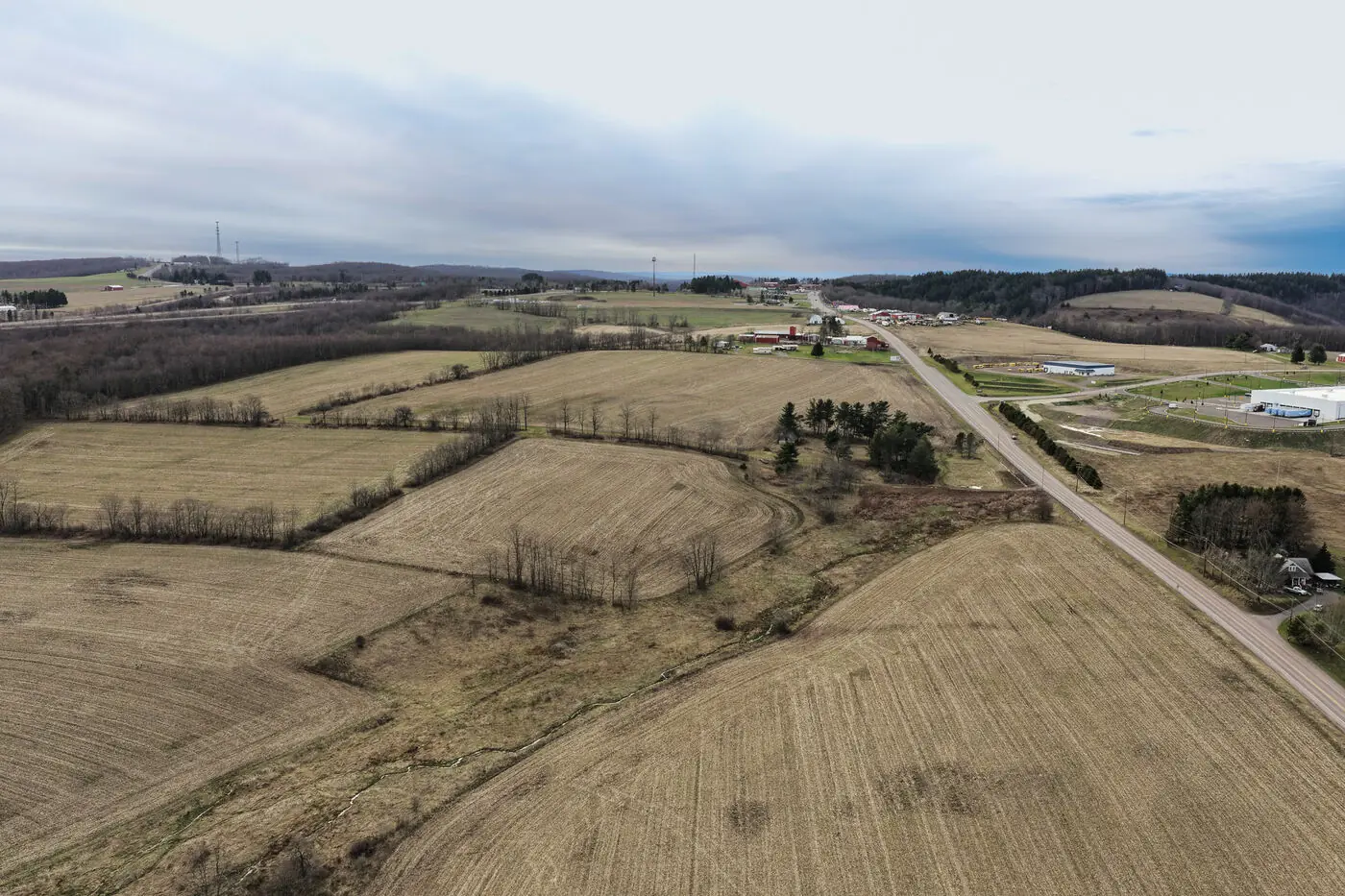
Document the land
Acreage tours, orthomosaics, or a recurring record of a working property. Central Virginia. Same-day quotes.